
Parks & Trails
Get to know all of our shared natural spaces!
Lower Gwynns Falls Park
This park is the largest in our neighborhood and sits on our eastern most edge. Here you can find the basketball court, a large field for sports activities, access to the Gwynns Falls Trail, and other ammenities.

Mighty Park
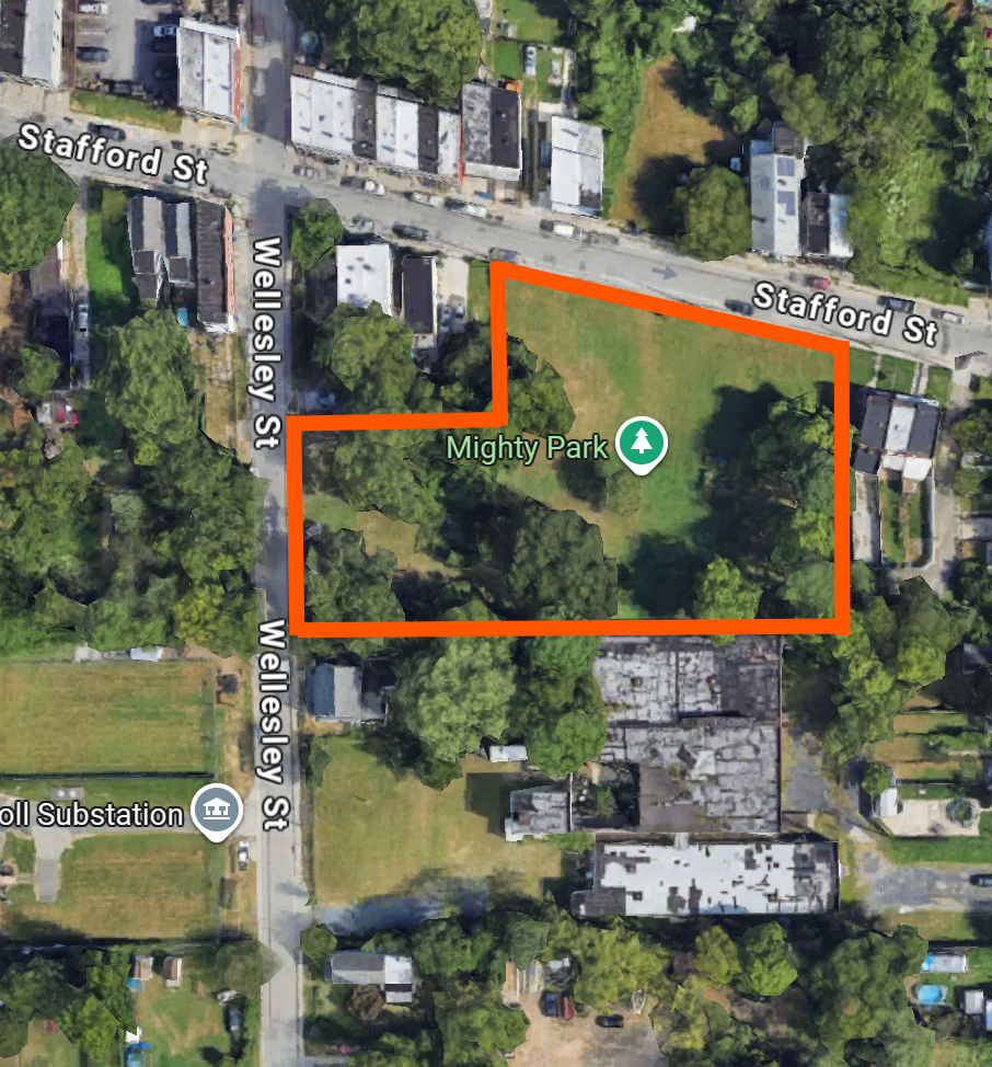
3025 Stafford St, Baltimore, MD 21223
This park sits at the heart of our community and is the home to some of our most recognizable features including the bird mural, our new play structure, the community garden and many more. Click the button below to check out our community garden!

Gwynns Falls Trail
Gywnns Falls Trail is a 22 mile continuous corridor of hiking and bicycling trails inside Baltimore, Maryland, named for the Gwynns Falls, whose course it follows, and the surrounding Gwynns Falls Leakin Park it passes through. It connects dozens of west and southwest Baltimore neighborhoods with parks, historical and cultural landmarks and the urban business district. This beautiful trail passes right through Lower Gwynns Falls Park.
Catonsville to Baltimore Greenway
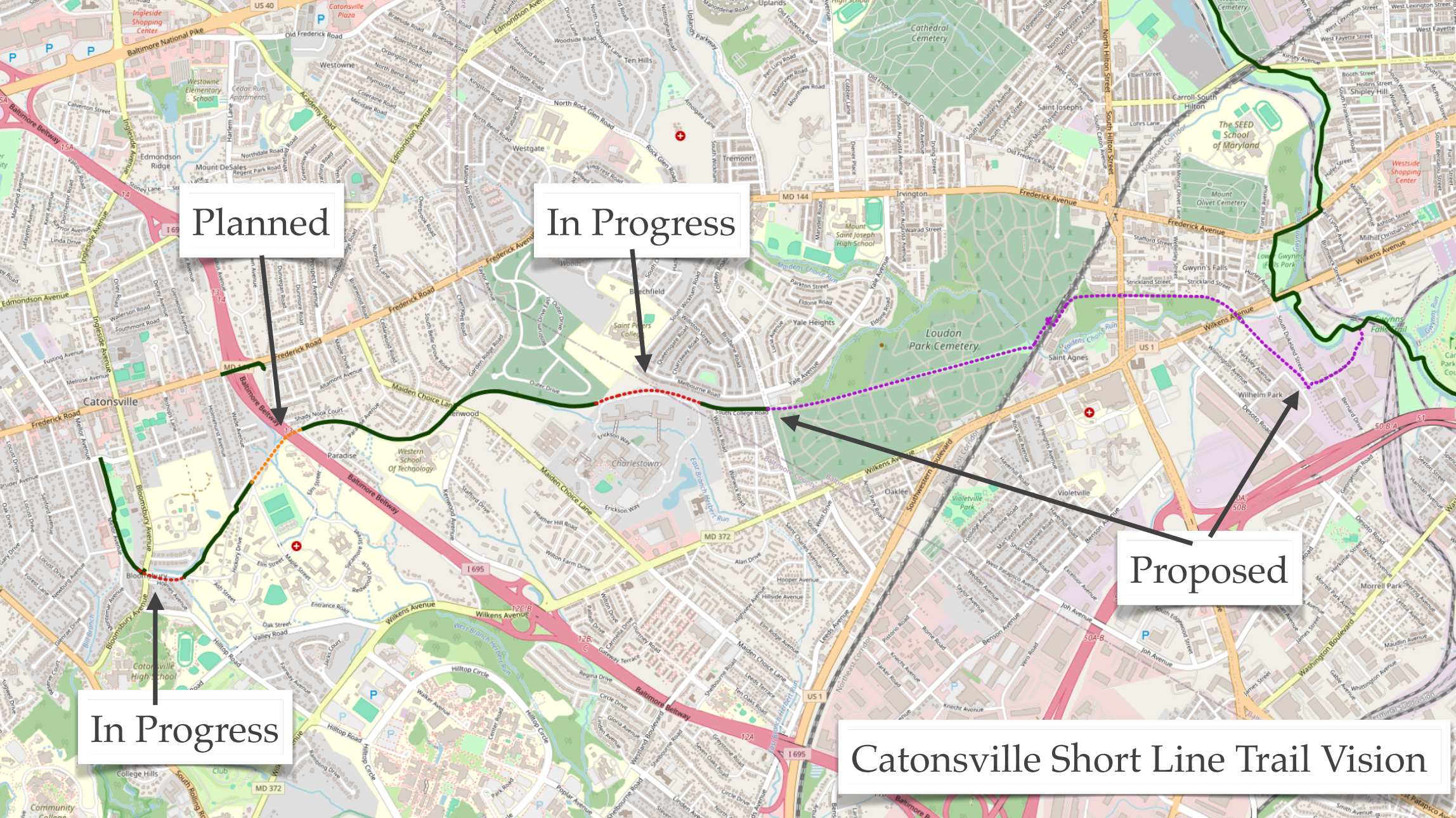
Bordering our neighborhood on the south lies a long unused rail line. We are actively working to transform this corridor into a mutli-use trail (bike/pedestrian) that would connect the Gwynns Falls Trail with the Baltimore County trail system. Maryland Transit Authority currently plans to refurbish these rail lines for non-passenger use assisting with MARC logistical issues; stay tuned for what becomes of this area.